Drones have transformed inspection work over the last decade. For a single building, a known underground anomaly, or a defined-perimeter solar inspection, the right tool is often a drone with a thermal payload — fast, accessible, and well-matched to the small footprint the work requires.
For multi-mile distribution networks, multi-acre solar fields, and campus-scale roof portfolios, the math changes. The inspection target isn’t a single object — it’s a whole system. The same physics that makes thermal imaging work also constrains how the data has to be collected. Once the survey scales past a certain footprint, aircraft become the right tool. Not because they’re inherently “better,” but because the physics of large-scale thermal collection favors them.
This is the framework we walk through with facilities, engineering, and capital planning teams who are evaluating their inspection options. It’s a physics argument, not a marketing one. Here’s how it breaks down.
Coverage area: the first constraint
A thermal inspection captures temperature data at a specific moment in time. Thermal contrast between an anomaly and its surroundings depends on ambient air temperature, solar load, wind speed, recent precipitation, and time since sunset for ground-surface work. These conditions shift continuously across any survey window.
For a small site, the shift across a single inspection is negligible. For a 200-acre solar field, a 20-mile underground steam network, or a multi-million-square-foot roof portfolio, the conditions at the perimeter at survey-end are not the conditions at the center at survey-start. A drone fleet flying the same network across multiple nights produces data captured under multiple different atmospheric envelopes — each sortie technically valid, but harder to compare against the next.
Aircraft cover those footprints in a single mission. A typical aerial infrared roof scan at a major campus is flown after sundown when the thermal contrast peaks, and the entire portfolio is captured in the same atmospheric window. A steam distribution survey at a university or military installation covers the full network in one overnight flight. The resulting dataset is internally comparable — anomaly A on Building 12 can be ranked directly against anomaly B on Building 47 because both were captured under identical conditions.
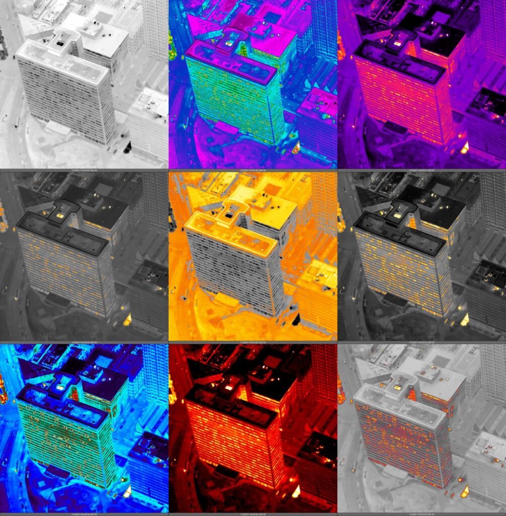
Spectral band and sensor wavelength
The physics of thermal detection depends on the sensor operating in the right spectral band for the temperature differential under measurement. Subsurface moisture under a roof membrane radiates differently than dry insulation. A buried steam line heats the soil column above it through long-wave infrared emission. A failing solar module produces a characteristic hot-spot pattern in a specific narrow band.
Aircraft-mounted thermal sensors used in our work are engineered for these specific applications. The wavelength, sensitivity, and field-of-view are designed around the targets the survey is looking for. Consumer-grade drone payloads — which are excellent across a broad range of general thermal imaging — aren’t always tuned to the specific spectral characteristics that make distribution-scale moisture detection or subsurface heat detection defensible to an engineering reviewer.
This matters less for a single-roof inspection. It matters a lot for a campus-wide HTHW distribution survey where the report has to be ranked, defensible, and usable for capital prioritization.
Altitude and the atmospheric window
Aircraft fly at altitudes where atmospheric water vapor is stable and predictable. Short-range platforms operate near the ground where local atmospheric conditions are more variable. For a thermal inspection that depends on detecting small temperature differentials across kilometers of survey area, atmospheric stability matters.
A second consideration is the calendar. Aircraft-based collection works through a wider range of conditions than short-range platforms. More of the year is available for surveying. For operators with seasonal load profiles — district energy operators, utility-scale solar operators, or municipal utilities — this means surveys can be scheduled around the operational calendar rather than around platform limitations.
Calibration drift and sensor consistency
Every thermal sensor has a calibration. Over the course of multiple sorties, multiple battery cycles, and multiple operators on the controls, that calibration shifts. The shift is small per sortie but compounding across the dozens or hundreds of sorties needed to cover a portfolio.
One aircraft mission uses one sensor, one calibration, and one operator throughout the survey window. Every observation in the final dataset is captured under the same instrument settings. For a survey that produces a defect inventory ranked across thousands of observations, that calibration consistency is what makes the ranking trustworthy.
Where drones are the right tool
This is not a case against drones. Drones are the right answer for:
- A single building roof inspection
- A known leak location verification after an aerial finding
- A defined-perimeter solar inspection on a few-hundred-kilowatt site
- Close-range thermal imagery for engineering due diligence
- Iterative ground-truth follow-up on flagged anomalies
For a multi-acre solar array, a multi-mile distribution network, or a portfolio of roofs across a district, the math changes. The cost of a fleet of drone sorties to cover the same area as a single aircraft mission — combined with the dataset inconsistency across those sorties — is what shifts the right tool toward aircraft.
The bottom line for facilities decision-makers
For most facilities, engineering, and capital planning teams evaluating aerial thermal options, the question isn’t “drone or aircraft?” It’s “what does the inspection problem actually require?”
If the target is a single roof, a known issue, or a small footprint, a drone-based contractor is the cost-effective answer. If the target is a multi-building portfolio, a distribution network, or a city-scale system, the physics of consistency, coverage, and calibration favor aircraft. The right question for any operator is: how big is the inspection target, and how much variance can the dataset tolerate?
That’s the framework we work through with our clients during a net meeting. To explore which inspection method applies to your facility or program, schedule a net meeting with our team — or browse our full set of aerial infrared services for specific application areas.